Saturday, 10 December 2022

Monway Branch

December 2022

The Monway Branch has to be one of the most obscure lost branches of the BCN, built to service heavy industry of Wednedbury to the east of the Walsall Canal between the better known (but also lost) Gospel Oak and Bradley Locks branches.

This "L" shaped branch was about 3/4 mile in length and its construction was approved in Parliament in 1783, at the same time as the Ryders Green extension of the old Birmingham Canal to reach the collieries of Broadwaters (later becoming the Walsall Canal) but economic uncertainty delayed construction till 1812.

The area was very prosperous for several decades with the surrounding land being used for heavy industry till the depression arrived in the late 1870's. 

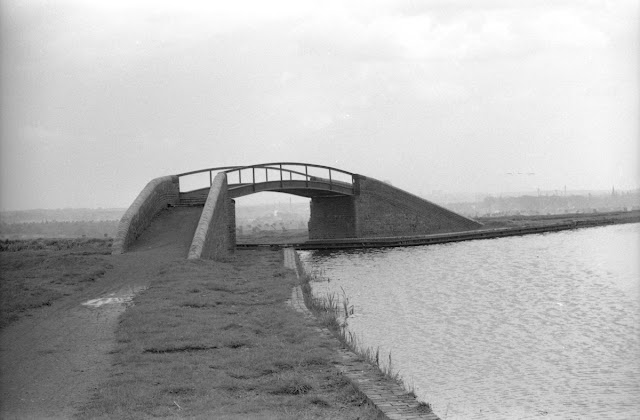
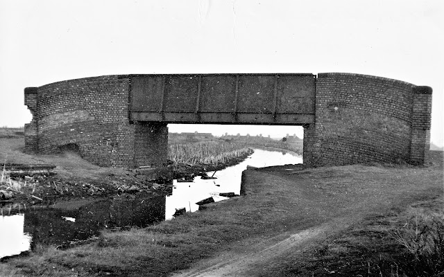
After clearance of the first wave of industry on the site the Patent Shaft Works was built in the 1950's and became the most significant business on its banks. The branch canal became less relevant over the years till finally just the entrance bridge remained during Hugh Potter's visit in the early 1970's.

These days the only echo of the branch and its industry is the name of the main road through the area - The Patent Shaft Way.

Fortunately a few photos have emerged which capture this backwater, if not in its heyday then at least in its decline!

Monway Branch entrance in about 1973 Hugh Potter

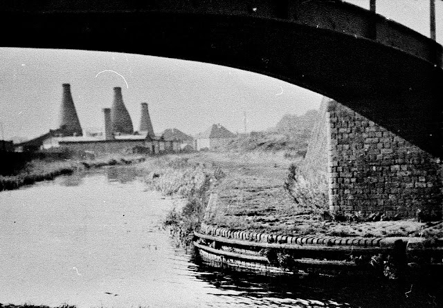
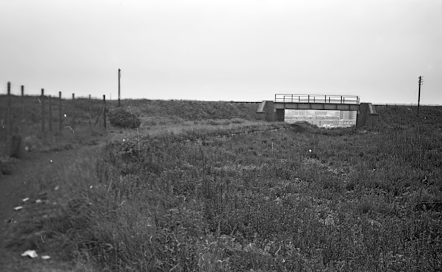
A. new Railway Bridge over the Monway Branch in 1958 Mark Hooper

Into the works in 1956 from Railway Bridge Mark Hooper

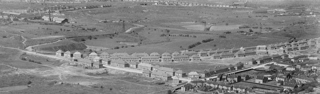
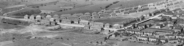
The "back arm" from the air

Patent Shaft works on the Monway Branch 1959 - Mark Hooper


The complete Monway network

Patent Shaft site 1956 with Ocker Hill Power Station in the gloom beyond - Mark Hooper

The "Back Arm" over the Patent Shaft site 1956 Mark Hooper

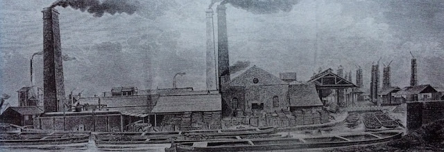
Patent Shaft and Axletree Works on the Monway Branch

The Monway site in operation in the late 1950's


Slightly off the Monday Branch but with the chimneys of Patent Shaft in the background if this good shot of Round's scrapyard near Leabrook Road Bridge with a Cadbury's steam shunting engine in the middle - see press article for the story.

Rounds Scrapyard on the Walsall Canal early 1960's  Source RCHS Ian Husselbee


The above photos have been assembled from various sources, including those freely found on the internet. My thanks go to the many photographers alive and dead who have contributed to this collection and in so doing, are keeping the memory of these lost canals alive. These images are reproduced for ease of research are are not necessarily the property of this blog, and as such should not be used for commercial gain without the explicit permission of the owner (whoever that may be).

Saturday, 29 October 2022

 Walsall Locks and Basin

For all their lack of traffic, the canals of Walsall have never been abandoned. However, the area has a rich canal heritage which has been lost and I thought a page devoted to archive images of the town's locks and basin would let me keep track of them and build a library.

Walsall Locks from above

Worseys Basin at Pratts Bridge 1955 - Stan Heaton

Worseys Basin 1955 - Stan Heaton

Worsey's Dock 1955 -Stan Heaton


Fire at Pratts Mill

Approaching Birchills

Birchills Power Station 1955 - Stan Heaton

Birchills Basin - Ian Huselbee

Near Birchills - Ian Huselbee

Birchills - Ian Huselbee


Keays Yard above the Locks in the 1970's


Caggy Stevens negotiates the Walsall Locks in the 1970's using horse power

Walsall Town Arm Junction in 1974 - Jack Haddock


Walsall Boat Rally in the 1970's


Leaving Town Locks Walsall

Town Arm, Walsall 1968

End of Town Arm

Stan Heaton view of the end of the Walsall Basin


Basin off Town Arm, Walsall

An unusual view of the Darlaston Aqueduct, just south of Walsall


The above photos have been assembled from various sources, including those freely found on the internet. My thanks go to the many photographers alive and dead who have contributed to this collection and in so doing, are keeping the memory of these lost canals alive. These images are reproduced for ease of research are are not necessarily the property of this blog, and as such should not be used for commercial gain without the explicit permission of the owner (whoever that may be).

Tuesday, 26 July 2022

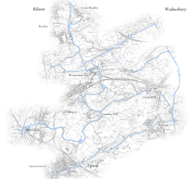
Old Mainline Canal Part Two - Summer Hill to Bradley

 Old Mainline Canal Part Two - Summer Hill to Bradley

This post continues to follow the lost loop of the Old Mainline Canal between Tipton and Bradley, covering the section Summer Hill to the Wednesbury Oak Loop.

The number of archive photos we have found have grown over the years and there are now too many to cover the entire line from Bloomfield in one post. 


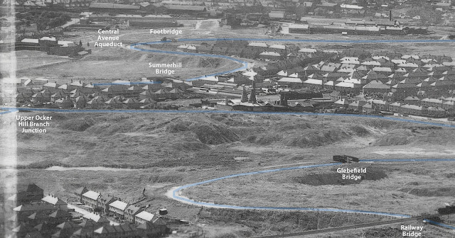
This post effectively starts at Parker Bridge at the end of what is now Moat Road, but to date no ground level images of Parker Bridge have come to light. We therefore start at the entrance to the Upper Ocker Hill Branch.

The canal continues through an area devastated by coal mining including the massive Moat Colliery to the east (served by the brief Dumaresq Branch) and the Schoolfield Colliery to the West. Along the way we pass the site of the old Mine Pumping engine which became Charles Lathes foundry in the 1920's and then onto St Johns Church with the massive Tibbington Brickworks beyond.

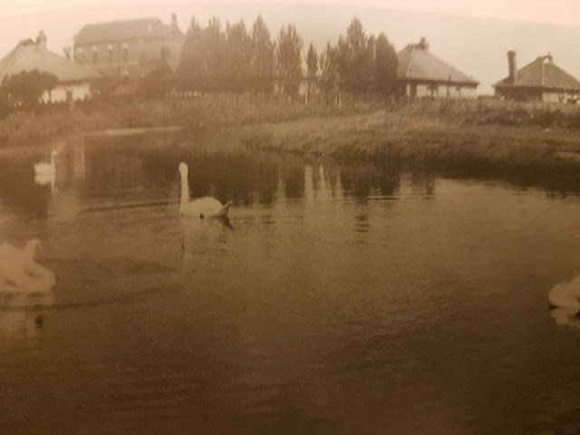
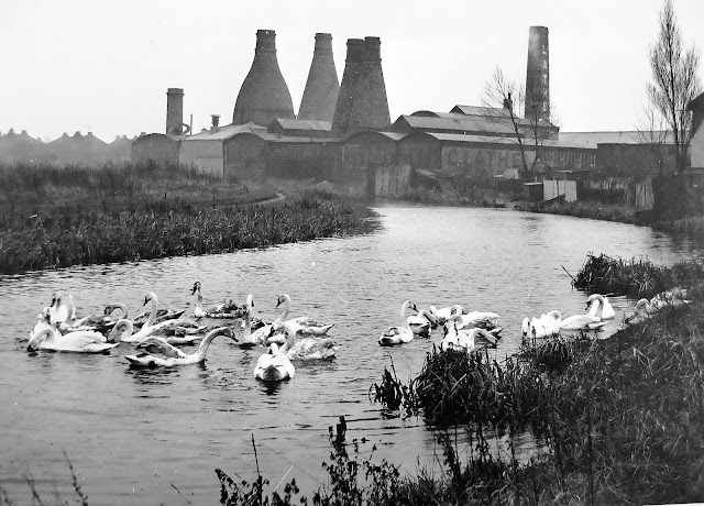
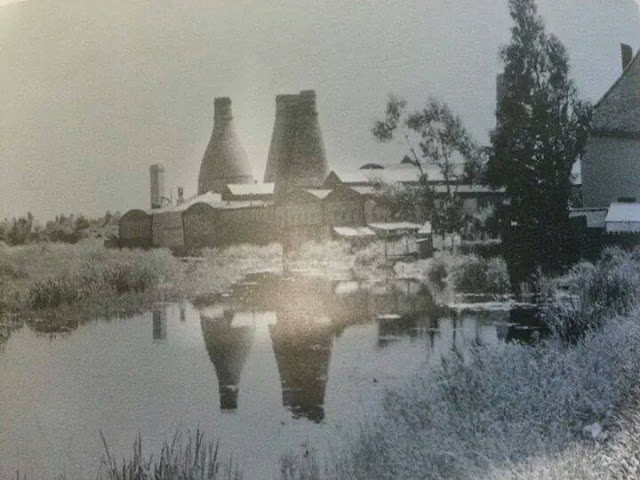
A feature of this industrial devastation were the swans of Princes End. The old mainline canal cut through this area and the wide bend at the junction of Upper Church Lane and Field Road (which both remain in situ) and this was home to a large population of swans. This group of swans features on many photographs and helps locate many of the images.

Ocker Hill Branch Entrance looking south

Lathes foundry viewed from Ocker Hill Junction

Summer Hill Ironworks

Abandoned boats at Summer Hill

Approaching Princes End by Philip Weaver

A distant view of St Bartholomews Church Wednesbury, probably taken from Princes End area
Photo from Tony Milko

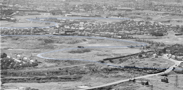
Princes End from above

St John's Church at Princes End (on Upper Church Lane)

Princes End with the Weslyan Methodist Chapel

Weslyan Methodist Chapel at Princes End
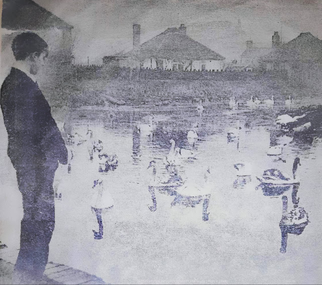

Old Mainline Canal at Princes End - the bungalows are on Field Road 


Charles Lathes Foundry Summer Hill south from Princes End

Similar view of Lathes Foundry

BCNS Archive

Looking back at Summer Hill in 1949 (Lathes is left of centre)
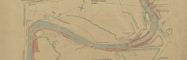
This section is now covered by the northern section of the Moat Farm Estate

Glebefield Bridge December 1960 by Michael Hale
(now covered by Field Road)

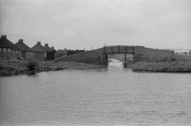
Glebefield Railway Bridge - Ian Huselbee

Glebefield Railway Bridge - Ian Huselbee

Glebefield Bridge 1949

Wednesbury Oak Bridge looking north by Keith Hodgkins (next to ASDA)

Wednesbury Oak Road Bridge looking south in 1969 (Arthur Price)

Partridge Bridge and start of Wednesbury Oak Loop (P Weaver)

Wednesbury Oak Loop (Weddel Wynd) with Rocket Pool / Rotton Brunt Shortening

A tighter view of the Wednesbury Oak Loop

The above photos have been assembled from various sources, including those freely found on the internet. My thanks go to the many photographers alive and dead who have contributed to this collection and in so doing, are keeping the memory of these lost canals alive. These images are reproduced for ease of research are are not necessarily the property of this blog, and as such should not be used for commercial gain without the explicit permission of the owner (whoever that may be).