Showing posts with label Stourbridge. Show all posts

Wednesday, 6 May 2020

Stourbridge area homepage

Stourbridge Area Homepage


1. Stourbridge Extension Canal

2. Fens Branch

3. Old Delph Locks

4. Stourbridge Town Arm


Click here to return to the index page


The above photos have been assembled from various sources, including those freely found on the internet. My thanks go to the many photographers alive and dead who have contributed to this collection and in so doing, are keeping the memory of these lost canals alive. These images are reproduced for ease of research are are not necessarily the property of this blog, and as such should not be used for commercial gain without the explicit permission of the owner (whoever that may be).

Stourbridge Extension Canal

Stourbridge Extension Canal

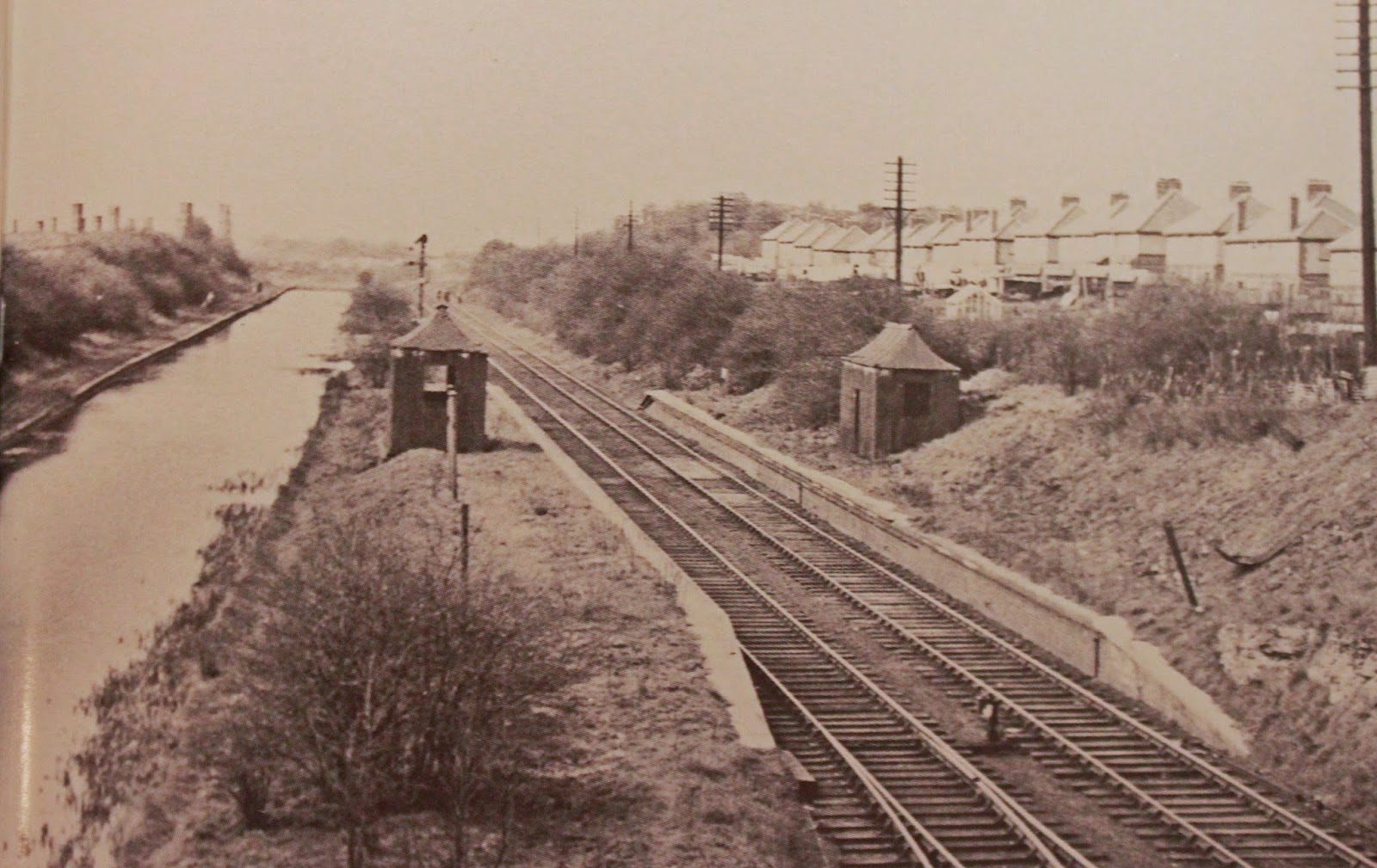
The Stourbridge Extension Canal is an elusive waterway, which branched off to the north from the Fens Branch, just above the Stourbridge 16 flight of locks.

The first few hundred yards are in water and offer some good moorings, but when you get to the road bridge beyond the old stop lock the trail goes cold. 

You can walk the line of the disused railway which ran alongside the canal, but the water channel has been covered by the back gardens of houses and then vanishes without trace under the Pensnett Trading Estate.

The loss of the northern section took place in the 1940's but the two arms remained operational for a bit longer, but was plagued with mining subsidence which caused the guillotine version of the stop lock to be built. The chamber of the stop lock is still in situ if you brave the undergrowth.

Perhaps the most frustrating thing about this waterway is the lack of surface photos of the northern section. Foe a pictorial record we have to resort to the Britain From Above images which at least let us plot its course.

The collection of photos of this canal has grown slowly over the years, and I live in hope that a collection featuring the northern section will emerge at some point.


Brockmoor Junction and The Leys from the Laurence Hogg slide collection


Transhipment warehouse at Brockmoor Junction

Bromley Interchange - Laurence Hogg Collection

Bromley Interchange Crane

Bromley Interchange of Stourbridge Extension Canal 1960's by Roy Martin


Guillotine Lock 


Guillotine Lock - Laurence Hogg collection

Guillotine Lock - Roy Martin


Bromley Stop in 1963 - Roy Martin


Looking over the old stop lock - Laurence Hogg Colllection


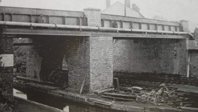
Bromley canal and rail bridge


1848 Bridge on Ketley Lane over the Standhills Branch

And here is where the Ketley Lane bridge finished up, 300 yards from where it was originally cast. The cast iron sides were incorporated into a new bridge named Neville Garratt, who donated the sides. Drawing by John Greaves Smith


1938


1950


Corbyns Hall 1950

Canal Track at Corbyns Hall 1950


Terminus Basin at Himley Brickworks - Robert Harling Black Country Bugle

Hay Wharf

Corbyns Hall


Click here to return to the Stourbridge Area index page

The above photos have been assembled from various sources, including those freely found on the internet. My thanks go to the many photographers alive and dead who have contributed to this collection and in so doing, are keeping the memory of these lost canals alive. These images are reproduced for ease of research are are not necessarily the property of this blog, and as such should not be used for commercial gain without the explicit permission of the owner (whoever that may be).

Fens Branch - Stourbridge Canal

Fens Branch - Stourbridge Canal


Fend Branch from Brockmoor Junction Laurence Hogg slide collection

Commonside Bridge at Haywharf in the 1930's


Cresset Lane Bridge - Laurence Hogg Collection


Click here to return to the Stourbridge Area index page

The above photos have been assembled from various sources, including those freely found on the internet. My thanks go to the many photographers alive and dead who have contributed to this collection and in so doing, are keeping the memory of these lost canals alive. These images are reproduced for ease of research are are not necessarily the property of this blog, and as such should not be used for commercial gain without the explicit permission of the owner (whoever that may be).

Tuesday, 15 September 2015

Up the Cut to Windmill End

Up the cut to Windmill End
September 2015

On our return to the canals we were immediately greeted by Smiffy who helped us up the locks into Stourport Basin and the much needed facilities.

From there it was a steady plod up the Staffs and Worcester, pausing at Kinver to have our new cratch cover repaired after an unfortunate altercation with Evesham Lock.

 Passing Morgana at Primrose hill


Scenes from Stourbridge Locks

Along the way the Centaflex coupling, which had been running on 3 bolts, started to show signs of terminal decline so we took it very easy as we entered the Stourbridge Canal, playing leapfrog with a couple of Roving Trader boats which were returning from Stourport Floating Market. 

The Stourbridge locks were very attractive and surprisingly productive from a foraging perspective and there is an interesting twist at the top lock where evidence of mining settlement become apparent in the lock walls.

Settlement repairs - mining subsidence!

An inspection at Merry Hill revealed we were down to just two studs and they were on borrowed time! We therefore made a very slow approach to the Windmill End site of the BCBF on Thursday evening followed by a "help" call to RCR!

 Delph Locks

Lodge Farm Reservoir