Tuesday, 26 July 2022

Old Mainline Canal Part Two - Summer Hill to Bradley

 Old Mainline Canal Part Two - Summer Hill to Bradley

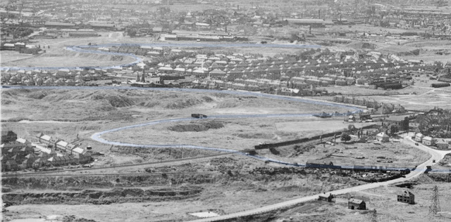
This post continues to follow the lost loop of the Old Mainline Canal between Tipton and Bradley, covering the section Summer Hill to the Wednesbury Oak Loop.

The number of archive photos we have found have grown over the years and there are now too many to cover the entire line from Bloomfield in one post. 
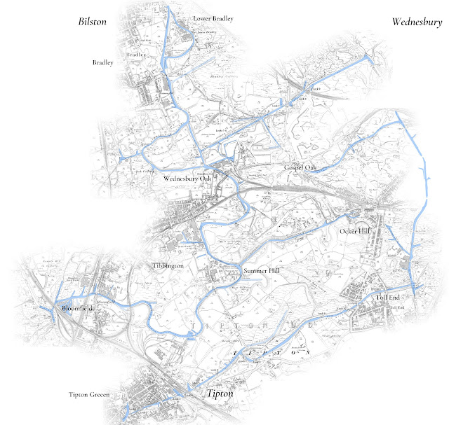


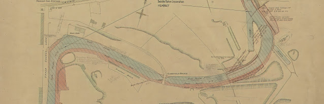
This post effectively starts at Parker Bridge at the end of what is now Moat Road, but to date no ground level images of Parker Bridge have come to light. We therefore start at the entrance to the Upper Ocker Hill Branch.

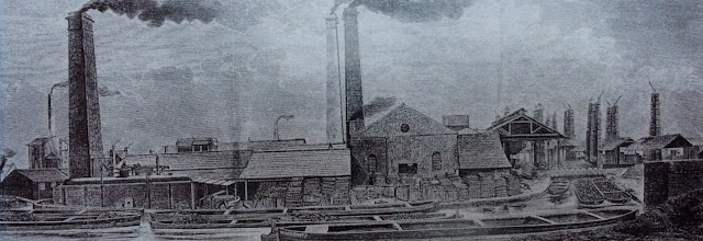
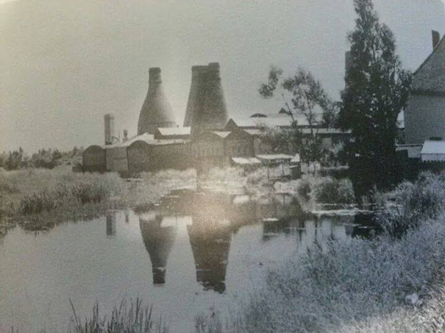
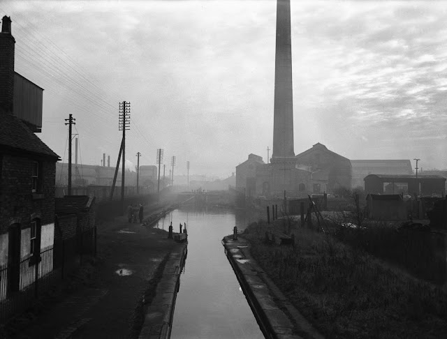
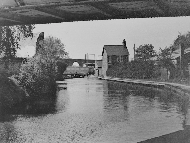
The canal continues through an area devastated by coal mining including the massive Moat Colliery to the east (served by the brief Dumaresq Branch) and the Schoolfield Colliery to the West. Along the way we pass the site of the old Mine Pumping engine which became Charles Lathes foundry in the 1920's and then onto St Johns Church with the massive Tibbington Brickworks beyond.

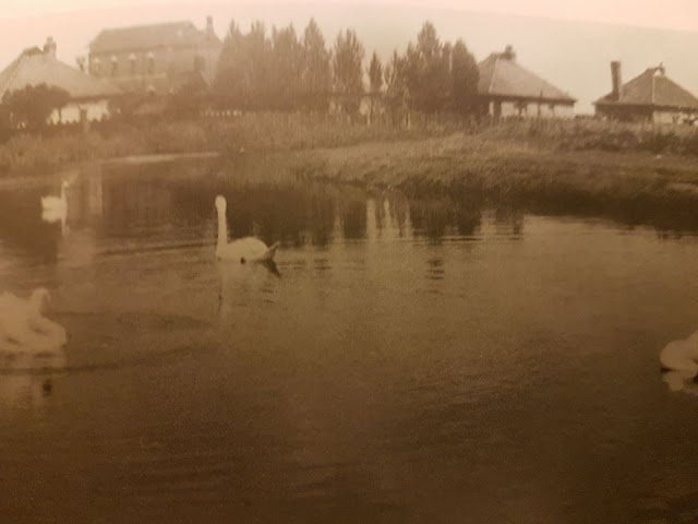
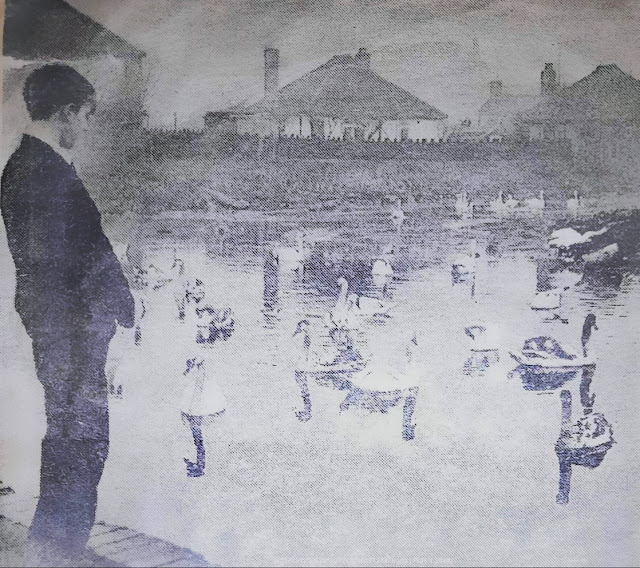
A feature of this industrial devastation were the swans of Princes End. The old mainline canal cut through this area and the wide bend at the junction of Upper Church Lane and Field Road (which both remain in situ) and this was home to a large population of swans. This group of swans features on many photographs and helps locate many of the images.
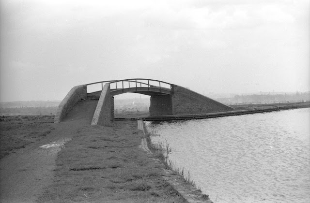
Ocker Hill Branch Entrance looking south

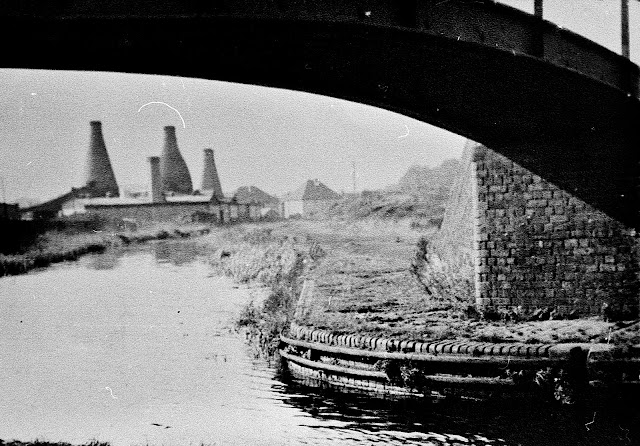
Lathes foundry viewed from Ocker Hill Junction

Summer Hill Ironworks

Abandoned boats at Summer Hill

Approaching Princes End by Philip Weaver

A distant view of St Bartholomews Church Wednesbury, probably taken from Princes End area
Photo from Tony Milko

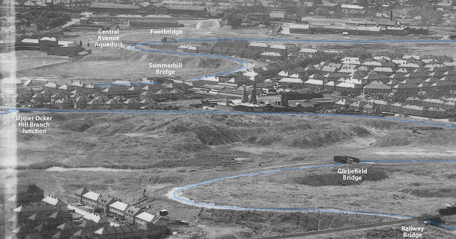
Princes End from above

St John's Church at Princes End (on Upper Church Lane)

Princes End with the Weslyan Methodist Chapel

Weslyan Methodist Chapel at Princes End


Old Mainline Canal at Princes End - the bungalows are on Field Road 
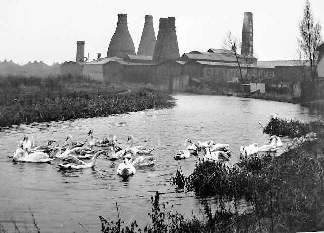

Charles Lathes Foundry Summer Hill south from Princes End

Similar view of Lathes Foundry

BCNS Archive

Looking back at Summer Hill in 1949 (Lathes is left of centre)

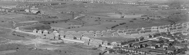
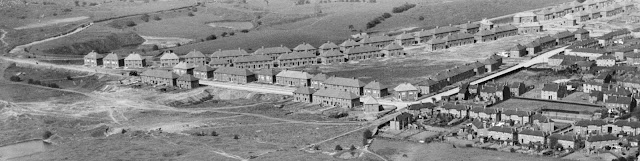
This section is now covered by the northern section of the Moat Farm Estate

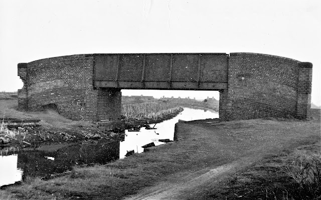
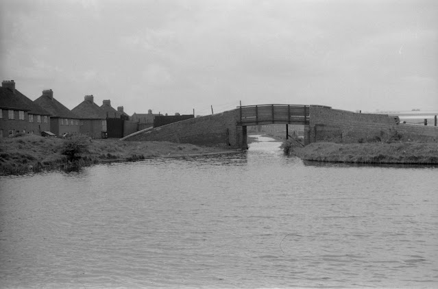
Glebefield Bridge December 1960 by Michael Hale
(now covered by Field Road)

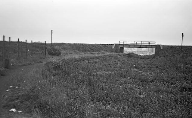
Glebefield Railway Bridge - Ian Huselbee

Glebefield Railway Bridge - Ian Huselbee

Glebefield Bridge 1949

Wednesbury Oak Bridge looking north by Keith Hodgkins (next to ASDA)

Wednesbury Oak Road Bridge looking south in 1969 (Arthur Price)

Partridge Bridge and start of Wednesbury Oak Loop (P Weaver)

Wednesbury Oak Loop (Weddel Wynd) with Rocket Pool / Rotton Brunt Shortening

A tighter view of the Wednesbury Oak Loop

The above photos have been assembled from various sources, including those freely found on the internet. My thanks go to the many photographers alive and dead who have contributed to this collection and in so doing, are keeping the memory of these lost canals alive. These images are reproduced for ease of research are are not necessarily the property of this blog, and as such should not be used for commercial gain without the explicit permission of the owner (whoever that may be).

Friday, 18 March 2022

Wolverhampton Locks

Wolverhampton Locks 

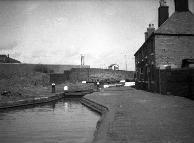
Wolverhampton Locks represented the first of seven exit routes from the BCN, taking the Birmingham Canal down to Brindley's Staffs and Worcester Canal at Aldersley Junction. This connection was made in 1772 originally involving 20 locks but as the deeper bottom lock created water problems it was replaced by the two locks we see today.

Whilst never lost, the locks have been well photographed over the years and this post hosts a collection of these images.

Top Lock - Stan Heaton

Source Unknown

Wolverhampton Top Lock - Wolverhampton Archive

Claytons Tar Boat at Wolverhampton Top Lock


Lock Three - Stan Heaton

Paul Hayes 1950

Wolverhampton Gasworks - Wolverhampton Archive


Stafford Road - Wolverhampton Archive

Coal Yard below Stafford Road - Wolverhampton Archive

BCNS Archive

Aldersley Junction

Laurence Hogg Archive

Laurence Hogg Archive

Aldersley Junction - Wolverhampton Archive

Aldersley Junction - Wolverhampton Archive

The above photos have been assembled from various sources, including those freely found on the internet. My thanks go to the many photographers alive and dead who have contributed to this collection and in so doing, are keeping the memory of these lost canals alive. These images are reproduced for ease of research are are not necessarily the property of this blog, and as such should not be used for commercial gain without the explicit permission of the owner (whoever that may be).


Wednesday, 16 February 2022

Around Brownhills

 Around Brownhills

Whilst the canal through Brownhills is by no means lost, many of the canal side features of the area have disappeared and this post attempts to capture a few of them.

There is much more to the canal in Brownhills than the waterfront beside Tesco. Backing up towards Pelsall there was the mighty surge stack, part of the Black Country's water supply system from Lichfield, then there was the railway interchange and the Gasworks before turning the corner into the Anglesey Branch which led to Norton Pools (Chasewater Reservoir), the main water reserve for the BCN as a whole.

The tangle of canals almost surrounded this mining town and fully justifies a page of its own.

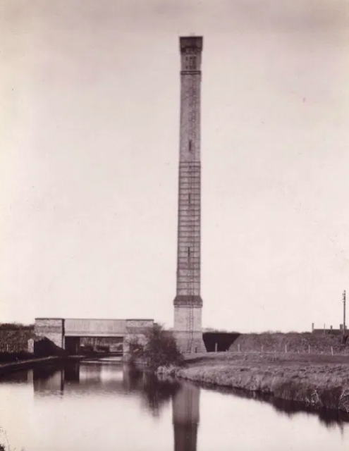
The Surge Stack - a long time Brownhills Landmark


The remains of the Surge Stack


Three images of the twin Brownhills Railway Interchange Basins

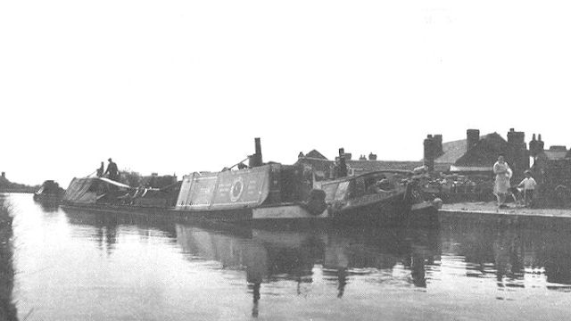
Unloading at Brownhills Gasworks


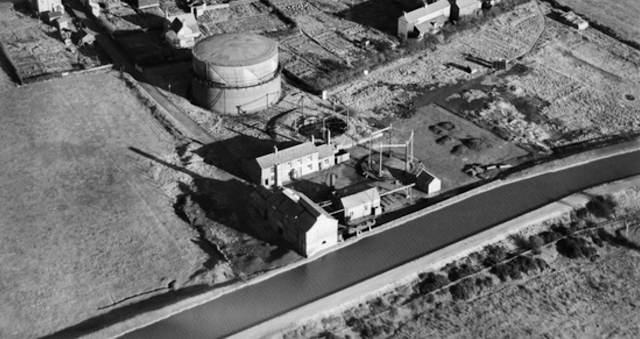
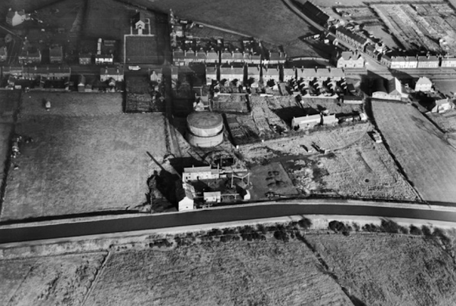
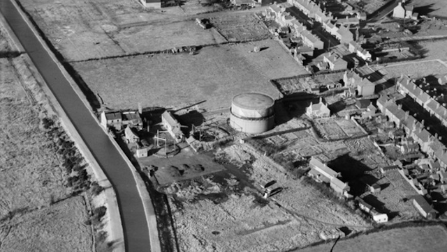
Brownhills Gasworks from above

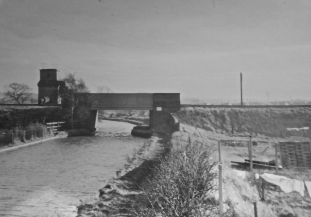
The old footbridge between Brownhills and Clayhanger Common

The Pier on Silver Street Brownhills 28.10.64 
Source H E Evans Collection (225.20) Courtesy of National Waterways Archive CRT

Catshill Junction in October 1962 taken by H E Evans
Courtesy of the Canal and River Trust's National Waterways Archive

Catshill Junction in October 1962 taken by H E Evans
Courtesy of the Canal and River Trust's National Waterways Archive

Catshill Junction in October 1962 taken by H E Evans
Courtesy of the Canal and River Trust's National Waterways Archive


Unknown colliery basin, probably in the Cannock coalfileld area

A 1950's view south to Northywood Bridge with the Empire Brickworks to the right of the Daw End Branch Canal

The above photos have been assembled from various sources, including those freely found on the internet. My thanks go to the many photographers alive and dead who have contributed to this collection and in so doing, are keeping the memory of these lost canals alive. These images are reproduced for ease of research are are not necessarily the property of this blog, and as such should not be used for commercial gain without the explicit permission of the owner (whoever that may be).