Post 8
June 2010
The town of Newport marks the middle point in the restored section, with nearly mile of watered canal existing to the west.
Newport Bridge
This western section is less attractive but is none the less bordered by a good path on both sides, which facilitates circular walks. It is also well stocked with fish and is a well used amenity with the local fishermen.
Tickethouse Lock and Bridge
The canal levels seem a bit odd coming out below Town lock at a point which seems too high for the adjacent road bridge. The reason for this is the sewer which has been laid beneath the bridge and then covered over. The waterflow is carried in a small concrete channel to Tickethouse Lock, a weed filled chamber and then on into open water as far as Polly's Lock where the line vanished once again beneath the farmers plough.
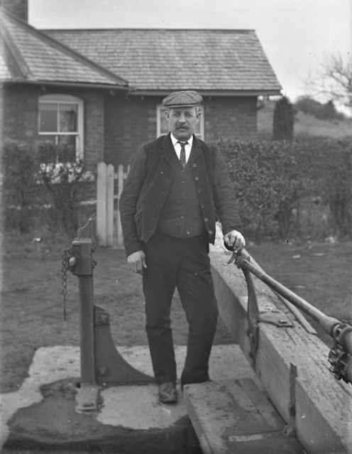
Pollys Lock at Newport
The above photos have been assembled from various sources, including those freely found on the internet. My thanks go to the many photographers alive and dead who have contributed to this collection and in so doing, are keeping the memory of these canals alive. These images are reproduced for ease of research are are not necessarily the property of this blog and some may still be subject to copyright, and as such they should not be used for commercial gain without the explicit permission of the owner (whoever that may be).


No comments:
Post a Comment