
The Balls Hill Branch was originally the the northern end of Bridley's Birmingham Canal built in 1769 to connect the local coal measures to the growing city of Birmingham.
The canal was operational for 100 years before photography was invented, and even then few people used expensive film to record gritty industrial scenes. Our images of this remote branch are therefore taken from sequences of aerial photographs. As you will see, the canal is the only constant in a changing landscape. The orientations of the images change around, but the following photographs capture the entire line of the canal in its final years.
Even today with the area swamped with new industry, much of the old canal line can be followed.


Overlapping aerial views of the entire Balls Hill Branch


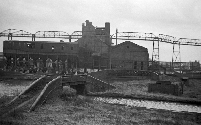
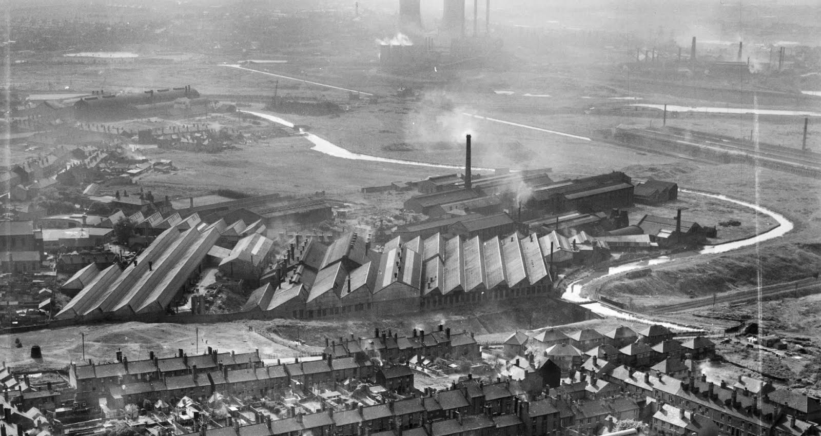
Railway Interchange Basin 1974 (Hugh Potter)


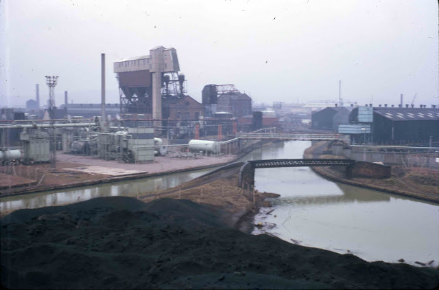
Swan Gasworks 1966 Ian Huselbee


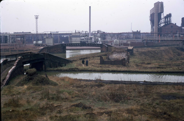


Looking out of interchange basin


Ridgacre Branch Junction being blocked 1993 (Kev Maslin)
Use the cooling tower as a point of reference


In the absence of many land based photos, the following is a sequence of images from Britain from Above which traces the course of this lost branch canal in a surprising amount of detail.

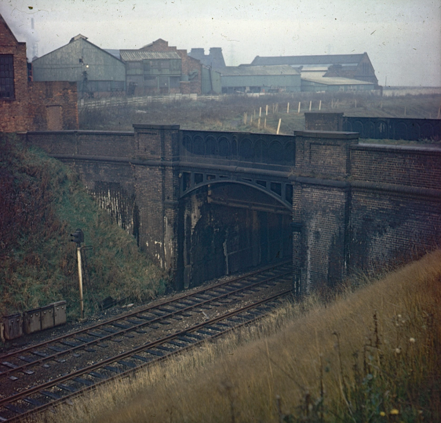
GWR Bridge next to Swan Village Goods Station (Arthur Price 1969)

Wednesbury Oak Loop north from Gas Works (Arthur Price 1969)

Start of Balls Hill Branch with Gas Works on right

Close up of the Interchange Basin and junction to the Ridgacre Branch

Balls Hill from Interchange to Bee Hive pub looking south

An older view looking south with the Tame Valley Canal in the foreground


Central corner around the Bee Hive Inn


Under Brick House Bridge (Arthur Price 1969)


Bee Hive (bottom right) with Tame Valley Canal beyond


Northern section with Bee Hive Pub just off image to the right looking south


A similar perspective from further away


Golds Hill Bridge

Balls Hill Branch with aqueduct in foreground looking west 1939 Britain from Above

A slightly newer canal side image with the enlarged Ocker Hill Power Station behind


Looking the other way towards the aqueduct


An artists impression of the aqueduct


GWR Aqueduct 1965 Ian Husslebee

J C Brown CRT Archive


And the real thing seen from the air in 1950


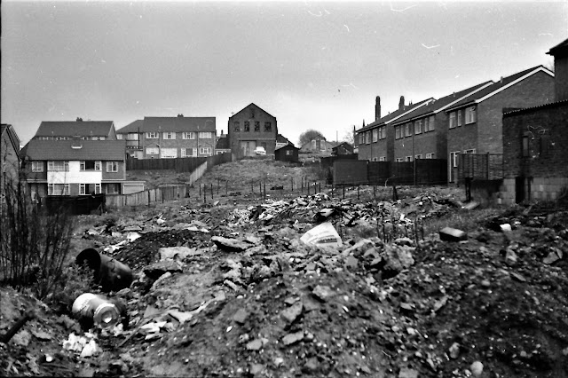


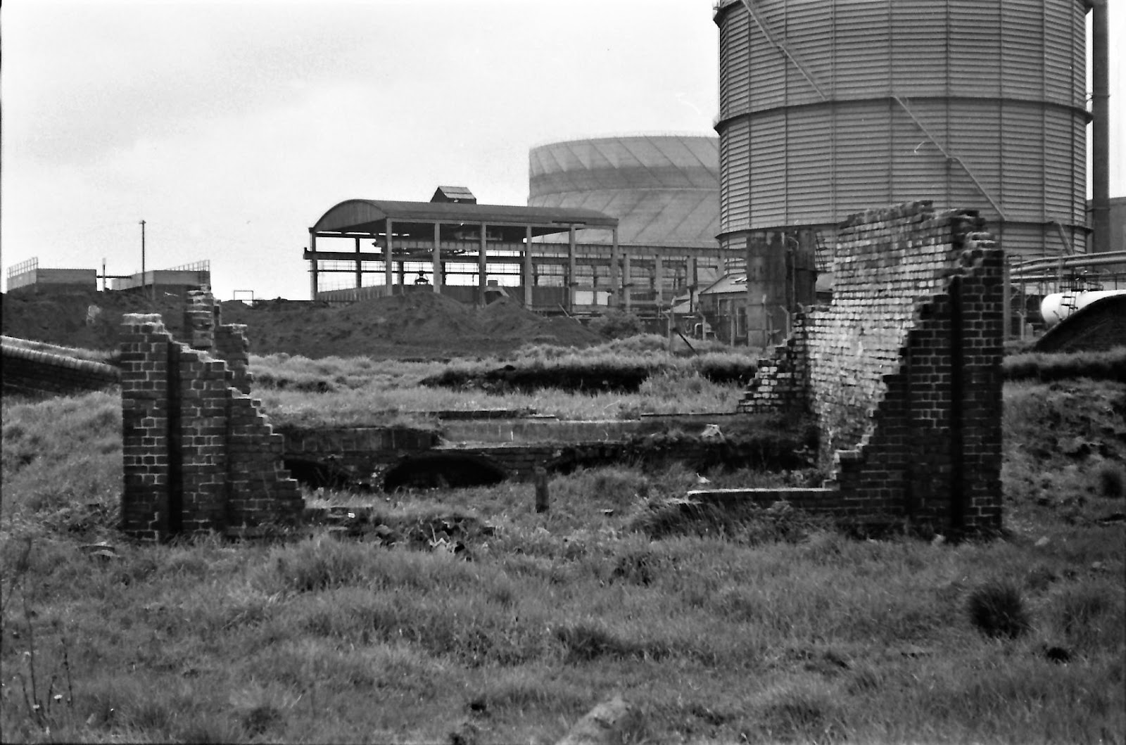
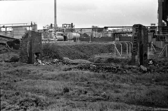
Site of the aqueduct in 1974 (Hugh Potter)


Site of the terminus (BFA 1950)


The above photos have been assembled from various sources, including those freely found on the internet. My thanks go to the many photographers alive and dead who have contributed to this collection and in so doing, are keeping the memory of these lost canals alive. These images are reproduced for ease of research are are not necessarily the property of this blog, and as such should not be used for commercial gain without the explicit permission of the owner (whoever that may be).
3 comments:
Hi Andy
Michael, Liam's Dad.
Balls Hill Aqueduct, as a kid I trainspotted there where the GWR went under the cut & into the rail tunnel as shown on the line drawing (now part of the Metro line) As a dare I & my mate walked through that rail tunnel a few times, trying to judge the gap between trains. The area of the hill over the tunnel is called Harvilles Hawthorne, my paternal grandmother owned a pawnbrokers shop there until the early '60's.
Michael - its scary to think what we did when we were kids!
Hi Andy, many thanks for this the photos have answered two questions that I had; in photo no9 you can see the colliery roughly in the centre of the photo, there is a railway bridge that carried the line across the entrance to that pit, when I was a kid the pit had all been filled in but the bridge remain albeit minus the lines, you could look down and see a roadway into the pit on the Great Bridge St side of the bridge but you could not go under the bridge as it ended in an earthen spoil.
I had always wondered as a kid what had used to be there and now I know, the second question was where did the canal arm go? Now I knew at one point that it crossed by the Beehive pub but my mistake was that I was actually looking at basin 307 which is just an arm, which incidentally was a hundred yards or so longer until the Black Country New road was built. Thank you. Jeremy
Post a Comment